Page last updated:
You may copy and use the photos here in your own publications as long as you give credit to the book as follows: Knights of Freedom by Lt. Col. Frederick C. Brems USAR (RET), published by Stackpole Books, Blue Ridge Summit, PA.
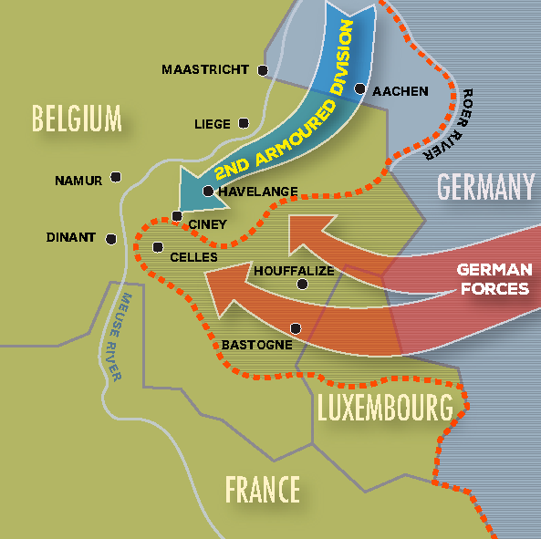
Color version of map on page 96.
(Map by Gerry O’Neill)
Color version of map on page 98.
(Map by Gerry O’Neill)

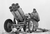
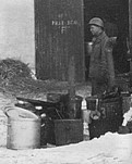
Nebelwerfer rocket launcher referred to on page 99.
Color version of map on page 101.
(Map by Gerry O’Neill)

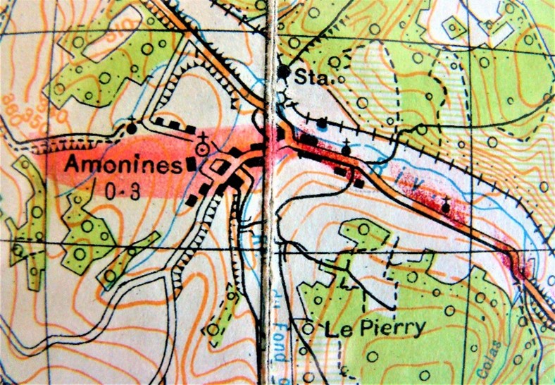
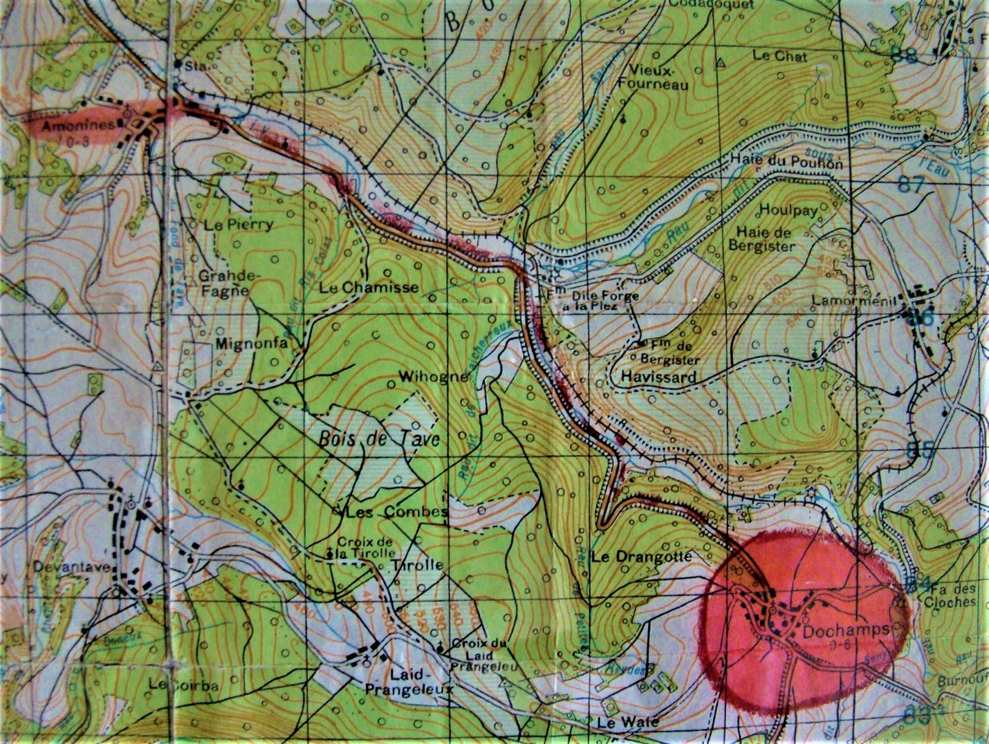
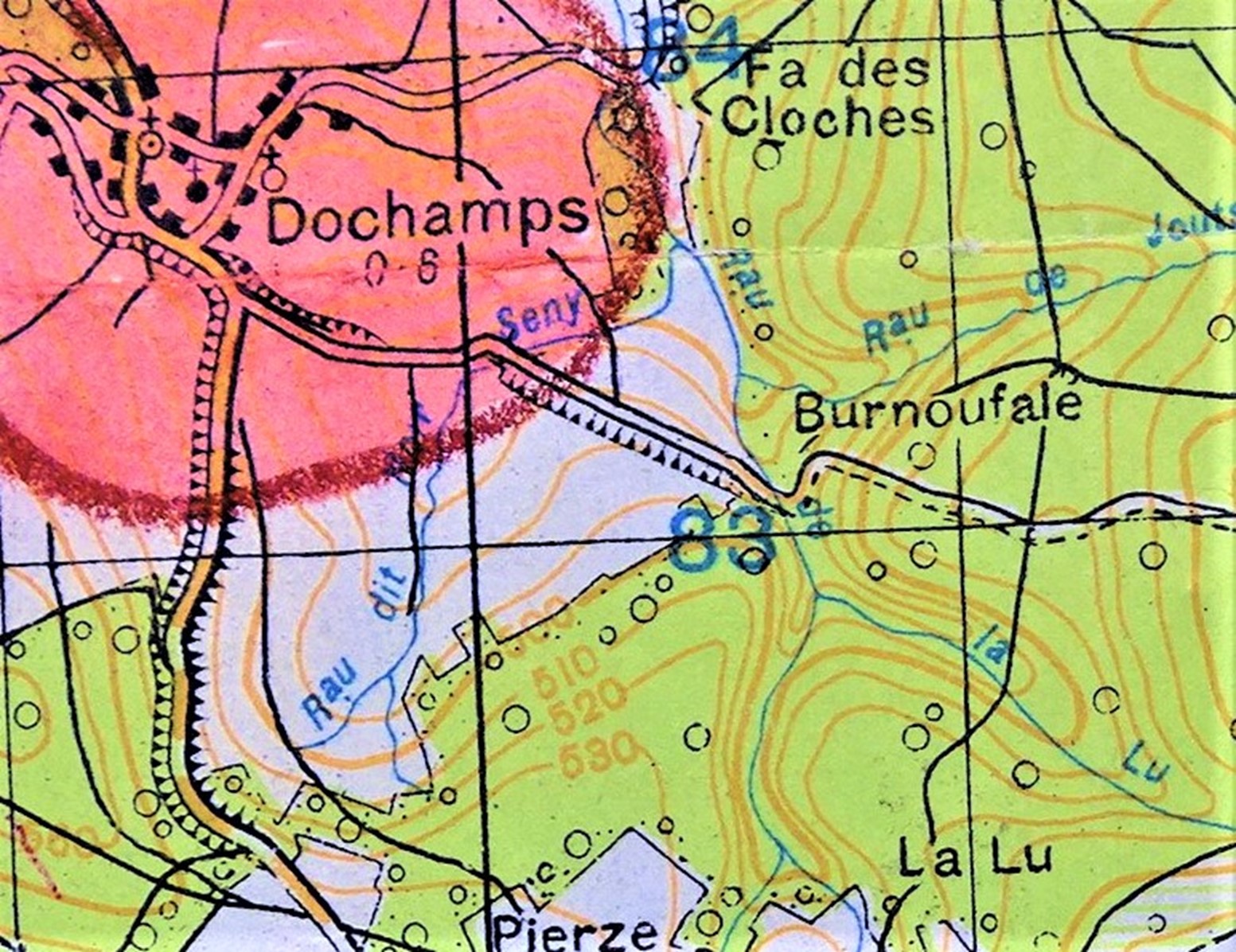
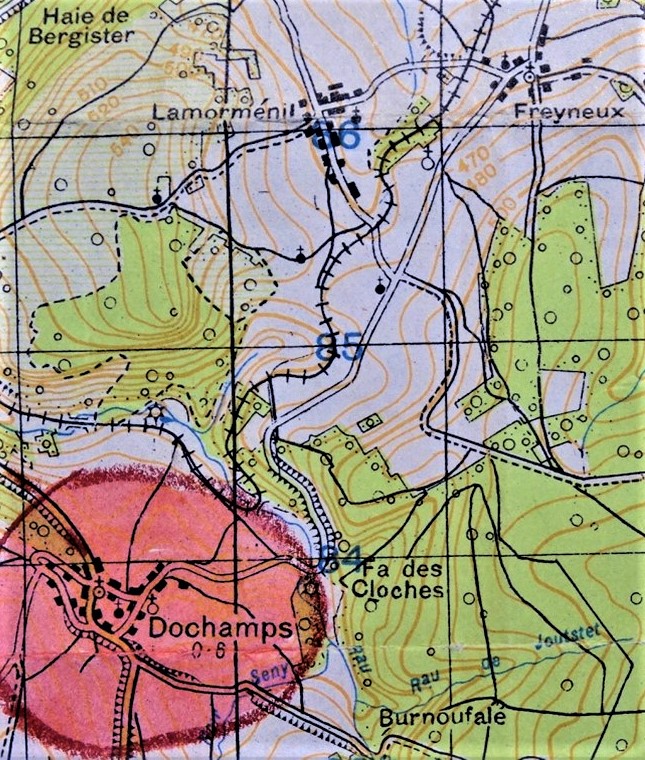
Original color of map on page 103.
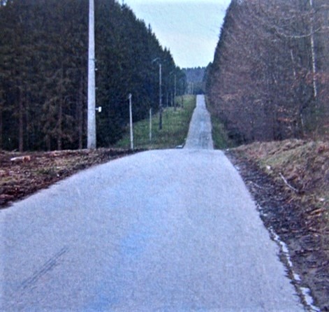
Color version of photo on page 104.
Original color of map on page 104.
Refer to page 105.
See story on page 106.

Sherman M4A3E8 page 109.
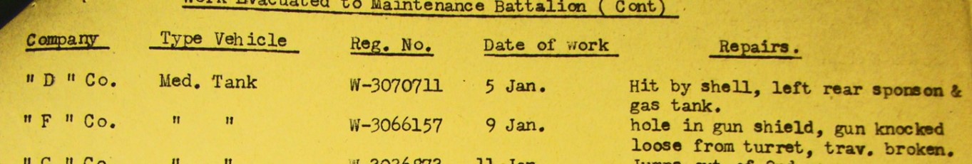
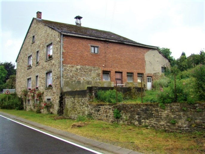
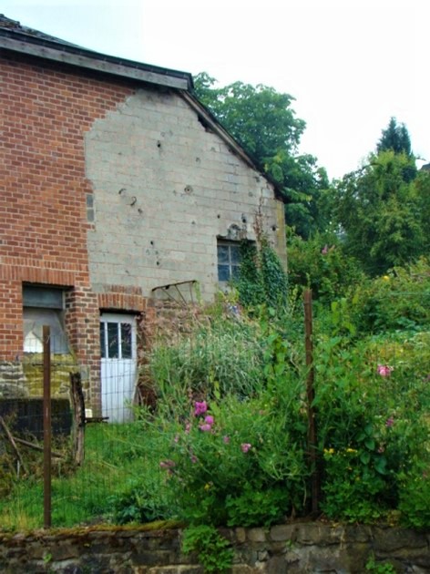
Record of work done on M4A3E8 lost at Dochamps by the Maintenance Battalion – – no mention of the death of Villagecenter. Page 110.
Color version of photo on page 110.
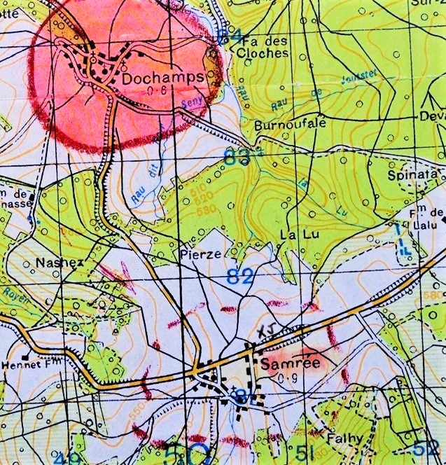
Original color of map on page 114.
Original color of map on page 117.

Original color of map on page 120.

Color version of map on page 122.
Close up of our HQ; see page 124.

The second is an undated photo of civilians leaving Fraipont to get out of harm’s way, the photo being taken 200 yards from Villa Ghilain.
(Both photos courtesy of Dany Mosbeux, BE.)
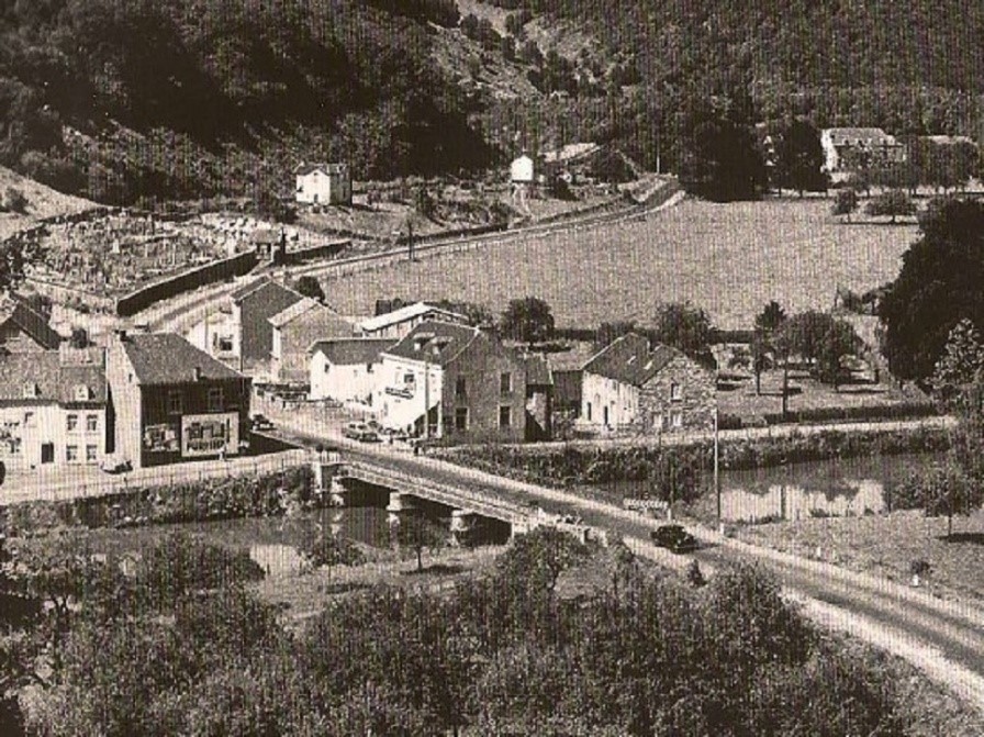
The photos here refer to the photo of Villa Ghislain seen on the top of page 128. Several of us stayed at the Villa while in the town of Fraipont. The first photo here was taken in 1960 and shows the Villa in the upper right of the photo. The Villa survived the war but was destroyed by fire in 1983.

On our hike up the high hill east of Fraipont, I took this photo. It was a dull, raw day. The Vesdre River and the bridge are to the left center of the photo with the Villa hidden by trees at the turn the road makes to the right. Our arrival at the top of the hill is seen in the photo on page 129.